Southwest overlanding trails have gotten complicated with all the conflicting trail reports flying around. As someone who’s spent six years running trails from the Mojave to the Four Corners in a modified 4Runner, I learned everything there is to know about the best routes for overlanding in the American Southwest. Today, I will share it all with you.
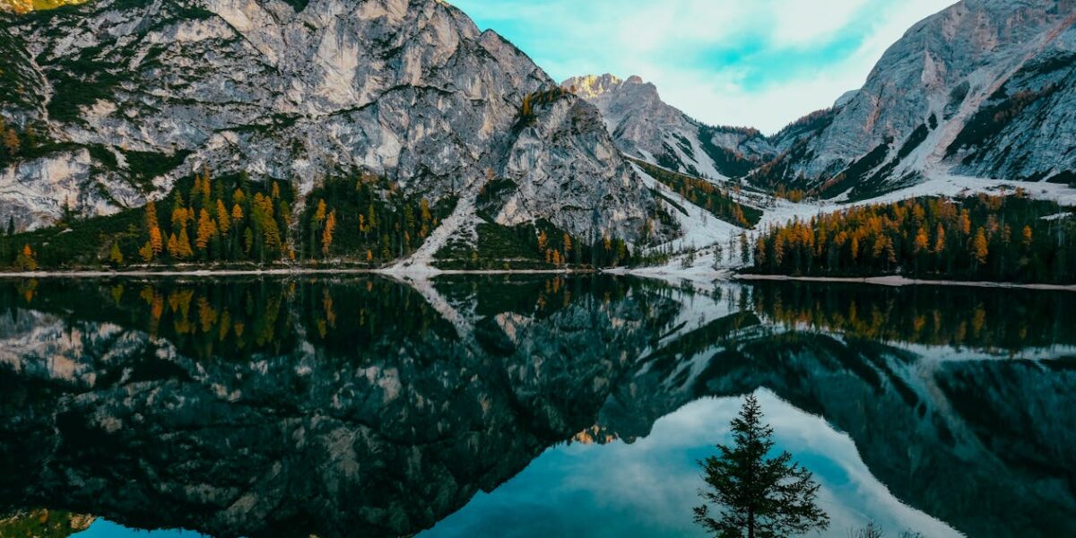
Why the Southwest Is the Overlanding Capital of America
There’s a reason every overlanding YouTube channel eventually ends up in Utah or Arizona. The combination of public land access, varied terrain, dramatic scenery, and dry weather makes the Southwest almost purpose-built for this kind of travel. You can run trails for weeks without retracing your route, camp for free on BLM land practically anywhere, and the chances of getting rained out are significantly lower than anywhere else in the country.
That’s what makes the Southwest endearing to us overlanders — it’s not just one type of terrain. You’ve got slickrock in Moab, sandy washes in Death Valley, rocky mountain passes in Colorado, and high desert plateaus across New Mexico. Each one demands something different from your vehicle and your skills.
White Rim Trail, Utah
Probably should have led with this section, honestly. The White Rim is the trail that got me hooked on overlanding, and it remains my favorite route in the Southwest after running it three times.
It’s a 100-mile loop that sits on a bench of white sandstone about 1,200 feet below the Island in the Sky mesa in Canyonlands National Park. The trail itself isn’t technically difficult — most stock 4WD vehicles can handle it in dry conditions. What makes it special is the scenery, which is genuinely some of the most dramatic landscape I’ve seen anywhere on earth.
You’ll need a permit from the NPS, and they go fast. I’d recommend applying the day the reservation window opens, usually four months in advance. The trail takes two to three days to complete, with designated campsites along the way that you reserve with your permit. No fires allowed, pack everything out, the usual NPS rules.
One thing nobody mentions in the glossy reviews — the Mineral Bottom switchbacks at the start (or end, depending on direction) are genuinely nerve-wracking. Narrow, exposed, steep. I white-knuckled it my first time through. By the third trip, I was fine. But fair warning for first-timers.
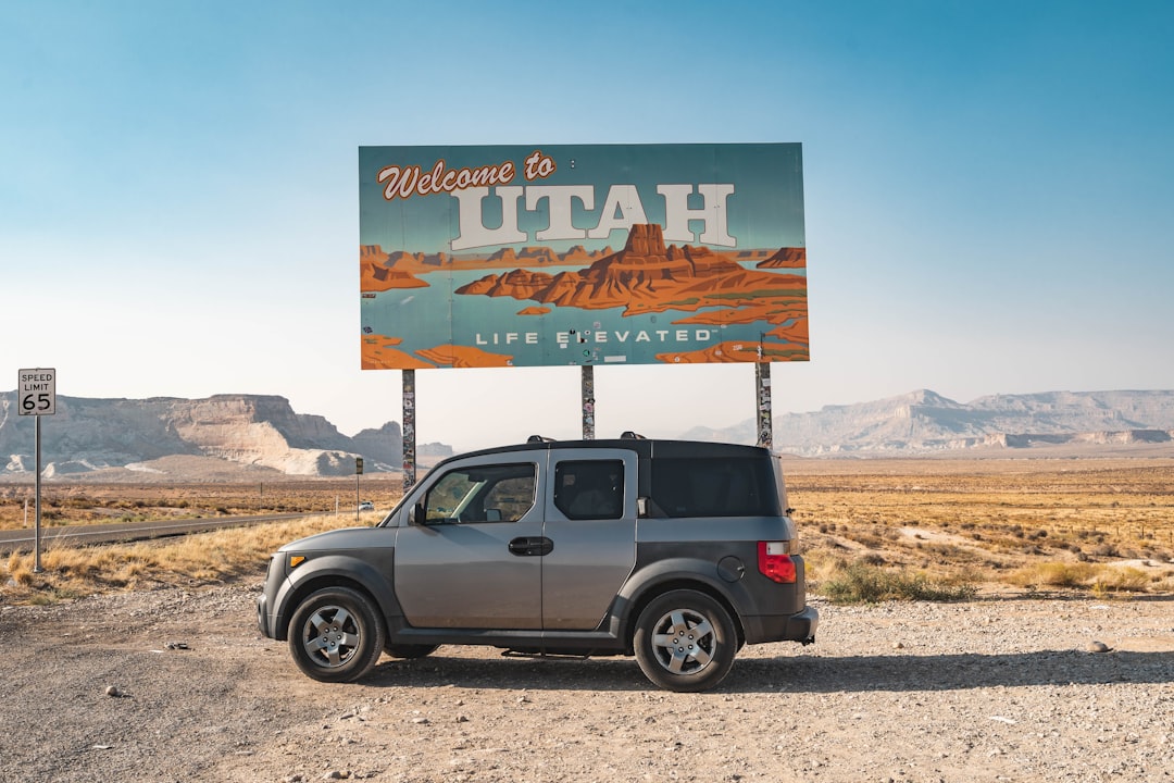
Mojave Road, California
The Mojave Road is a 140-mile east-west track across the Mojave Desert, roughly following an old Native American trade route and later a military wagon road. It runs from the Colorado River near Needles to Camp Cady near Barstow.
This one is pure desert overlanding. You’ll cross dry lake beds, climb through volcanic rock formations, and pass through some of the most remote territory in Southern California. Cell service is nonexistent for most of the route, which is either a selling point or a dealbreaker depending on your comfort level.
I ran the Mojave Road in January, which I’d strongly recommend. Summer temperatures regularly exceed 115 degrees out here, and there’s virtually no shade. Even in winter, I went through over two gallons of water per person per day. The Soda Lake crossing can be tricky after rain — what looks like a dry lakebed can have soft, muddy spots that’ll swallow a tire in seconds. I watched a Jeep ahead of me sink to the axles there. Took two hours and a snatch strap to get him out.
The abandoned mailbox at the halfway point (Kelbaker Road crossing) is a fun tradition — people leave notes, postcards, and small items inside. I left a TripChimp sticker in there. Probably still there.
Alpine Loop, Colorado
The Alpine Loop connects Lake City, Ouray, and Silverton via three high-altitude mountain passes — Engineer Pass (12,800 ft), Cinnamon Pass (12,620 ft), and California Gulch. This is proper mountain overlanding with tight switchbacks, shelf roads, and exposure that’ll make your palms sweat.
The scenery up here is different from the desert trails. You’re above treeline, surrounded by 14,000-foot peaks, with wildflower meadows in summer that look like something from a screensaver. The old mining ruins scattered along the route add a layer of history that I find fascinating — entire ghost towns just sitting there at 12,000 feet, slowly falling apart.
Engineer Pass is the most challenging of the three. There’s a ledge section where the trail narrows to about one vehicle width with a significant drop-off on one side. Passing oncoming traffic here requires someone to back up, which is exactly as stressful as it sounds. I go early in the morning to minimize encounters.
The Alpine Loop is seasonal — typically open from late June through September, depending on snowpack. Don’t try to push the season. I know a guy who attempted Engineer Pass in early June and hit a snowdrift that blocked the entire trail. Had to reverse half a mile down a mountain road. Not recommended.
Hole in the Rock Trail, Utah
This 57-mile trail in the Glen Canyon National Recreation Area follows the route of the 1879 Mormon pioneer expedition from Escalante to Lake Powell. It’s remote, rugged, and gets progressively more difficult as you go. Most people turn around at Dance Hall Rock, about 35 miles in, which is a reasonable day trip in a capable vehicle.
If you push all the way to the end, you’ll reach the actual Hole in the Rock — a narrow crack in the canyon wall that the pioneers somehow got wagons through. The last few miles are serious four-wheeling: loose rock, steep grades, and very little room for error. I’d rate the final section as the most technically demanding trail on this list.
Camping out here is dispersed and primitive. No facilities, no water, no cell service, no other people most of the time. Bring everything you need and then some. The stars at night are absolutely incredible — some of the darkest skies in the continental US.
Shafer Trail, Utah
Shafer Trail connects the Island in the Sky mesa top to the Potash Road along the Colorado River, dropping about 1,400 feet via a series of tight, exposed switchbacks carved into the canyon wall. It’s only about 18 miles total, but don’t let the short distance fool you.
The switchbacks are the main event. They’re narrow, there aren’t guardrails (obviously), and the drop-off is immediate and significant. In a full-size truck or larger vehicle, some of the turns require a three-point turn. I’ve run Shafer in both directions and prefer going down — you hug the inside wall that way, which feels slightly less terrifying.
The bottom section along the Colorado River is easy and scenic. Great spot for lunch. The whole trail can be done in half a day, making it perfect for a warm-up before tackling the White Rim or as a standalone adventure if you’re based in Moab.
Cottonwood Canyon Road, Utah
This one’s a bit of a sleeper. Cottonwood Canyon Road runs 46 miles through Grand Staircase-Escalante National Monument from Highway 12 near Cannonville to Highway 89 near Big Water. It’s a maintained dirt road that’s usually passable for high-clearance 2WD vehicles in dry conditions, making it one of the more accessible trails on this list.
The highlights include the Cockscomb (a dramatic geological fold), Grosvenor Arch (a stunning double arch that’s well worth the short side trip), and the Paria River crossing, which can be impassable after heavy rain. I love this road because it gives you real backcountry Southwest scenery without requiring hardcore equipment or experience.
I ran Cottonwood Canyon as part of a longer loop that included the Burr Trail and Notom-Bullfrog Road. That three-day loop is, in my opinion, the best introductory overlanding trip in Utah. You get canyons, desert, mountains, and river crossings with nothing more difficult than some washboard and occasional sand.
Preparing for Southwest Overlanding
A few things I’ve learned through experience and occasional stupidity:
Water. Carry more than you think you need. My rule is one gallon per person per day for drinking, plus extra for cooking and emergency radiator top-off. In the desert, dehydration happens faster than you expect.
Recovery gear. At minimum: a tow strap, a shovel, a tire plug kit, and a tire deflator/inflator. I carry a full recovery kit including a winch, but the shovel has honestly saved me more times than anything else. Digging out a tire is unglamorous but effective.
Fuel range. Know your vehicle’s range and plan accordingly. Some of these trails are 100+ miles with zero fuel availability. I carry two extra five-gallon jerry cans on longer routes, which gives me about 200 extra miles of range.
Communication. Cell service is nonexistent on most of these trails. I carry a Garmin inReach for emergency communication and weather updates. It’s also useful for letting family know where you are, which keeps everyone’s anxiety levels reasonable.
Permits and regulations. Many of these areas require permits, have camping restrictions, or are seasonally closed. Check with the managing agency (BLM, NPS, USFS) before you go. Getting a citation in the middle of nowhere is a special kind of annoying.
Final Thoughts
The American Southwest has more overlanding opportunities than you could explore in a lifetime, and I’m not being hyperbolic. I’ve been at this for six years and I still have a running list of trails I haven’t gotten to yet. Start with something manageable — Cottonwood Canyon or the White Rim with a permit — build your skills and confidence, and work up from there.
The desert is patient. It’ll still be there when you’re ready for the harder stuff. And once you’ve spent a night camped under a billion stars in a canyon that hasn’t changed in millions of years, you’ll understand why we keep coming back.


Leave a Reply